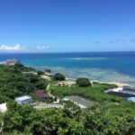
Nanjo 南城 meaning “southern castle” is unsurprisingly located in the southern area of the island. In Nanjo, there are many cultural and historical properties, most famously, perhaps, the Seifa Utaki 斎場御嶽 (also spelled Sefa Utaki).
**utaki 御嶽 is a Ryukyuan term for “sacred place,” oftentimes a water spring, mountain, woods, cave, etc.
The area I went to today qualifies as another “power spot” and it is quite close to Seifa Utaki. It is another spot related to the goddess Amamikiyo.
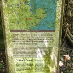
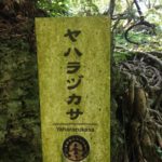
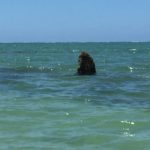
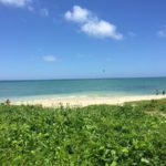
ヤハラヅカサ Yaharazukasa is the name of the monument submerged at full tide, and is totally revealed at low tide. It is located within the Hyakuna beach 百名ビーチarea.
The meaning is broken down into ヤハラ yahara, which can be soft, healed, gentle (柔らかい yawarakai, 癒されるiyasareru, 優しい yasashii in Japanese). The second part ヅカサ zukasa means mound, 塚 zuka in Japanese. So the meaning is something like a mound to receive gentle healing.
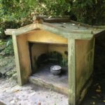
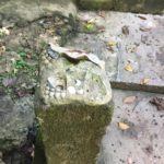
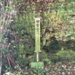
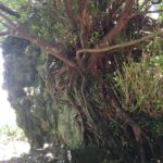
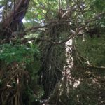
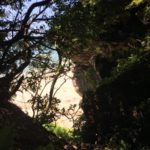
Amamikiyo touched down at yaharazukasa through Hamagaa utaki 浜川御嶽 (utaki means sacred spot) after Kudaka-jima; 浜川 Hamagaa would be normally be pronounced Hamagawa in Japanese (beach + river). Hamagaa utaki is a small “shrine” area with a spring (gaa 川, river/spring in Okinawan language) running through the Ryukyuan limestone cliffs. It was happily burbling as I explored the area. This utaki area was also supposedly a location where the goddess would rest and heal. She came from the sea kingdom Nirai-kanai, the home of the gods and created the Ryukyu Islands.
The Hyakuna beach is free; same with parking if you go all the way down to the end of the drive. If not, you can also pay for parking in a lot about halfway to monument area, more by the beach sports access area.
I did not check the tides since I was just wandering about so, alas, I ended up here at nearly high tide. Sometime I shall go down just for low tide to see the monument in its fullest.
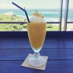
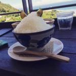
Later we went to the parking and cafe area for Seifa Utaki to enjoy some cool treats at the 2nd floor cafe. I had a mango float and my husband had shikwasa (Okinawan lime citrus) kakigouri (shave ice). The view was quite beautiful and we chose to sit outside and enjoy.
address for Hyakuna Beach: https://goo.gl/maps/TJeUAGAzutK2
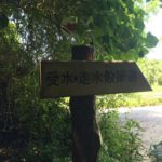
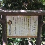
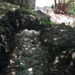
*When you park at the end of the road, you can see a sign pointing into the wooded area. That is where Hamagaa utaki is. From the utaki, there is a rock step path down to the beach directly in front of the yaharazakasa monument. There are some well-worn signage with both English and Japanese information.
Seifa Kitchen cafe せーふぁキッチン: https://goo.gl/maps/MhHZRJhzjMv
